Starting Data
Examining regional and local data trends to establish a baseline.
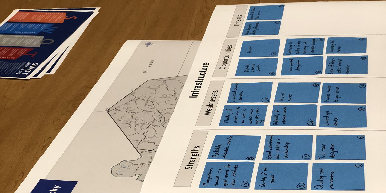
BRADD identified 10 data points to be used as baseline data to track trends across all 10 counties in the Barren River Area Development District’s footprint. Data points are sourced from U.S. Census Bureau and 2019 American Community Survey 5-Year Estimates. Continue reading to learn more about these data points and how they, along with other points, were incorporated into local and regional planning efforts.
Click here to take a deeper look at the 10 main data points tracked across all county strategic plans. While these data points are available on each county’s landing page, the linked dashboard presents the information comparatively, across time.